Total distance 312.77 Km
Average daily distance 20.85 Km
Longest day distance 34.70 Km
Shortest day distance 12.62 Km
An interesting 15 days. It was tougher than I imagined, especially the last 3 days (ouch!!).
The Path
The path is predominately narrow, cliff top, single file tracks some of which are furrowed which take a high level of concentration and an element of luck to walk along. If you do not like heights and/or suffer from vertigo then this may not be the path for you. There are areas on wider grass tracks and away from the cliffs; these can be a welcome change especially on the longer days.
The coastline has an element of sameness about it each day (that can on occasion be a bit dull) but there are some stunning, rugged cliffs and numerous beaches and coves to break things up. Beaches is an interesting term as most of them are covered in pebbles; to be fair though there are a few beaches which are beautiful and sandy - on par with ours.
Itinerary
We used Encounter Walking to assist with the itinerary. We used a modified version of one of their standard itineraries and they were very helpful and willing to mould the itinerary to suit us. They booked accommodation and the luggage transfers; it all worked without a hitch. I can highly recommend them as they are professional, prompt to reply and the final itinerary they have to us was very detailed and useful.
Rest Days: We did not have any rest days in our itinerary. Was this a good idea? I am not sure, however, a rest day after the big day on 3rd last day may have been a good idea.
Direction walked: We started the walk in the south at Amroth and walked to the north. The reasoning behind this is two fold; firstly it is the direction given in the Trailblazer guide book, secondly it was the logical direction for us as we are starting the next walk (Offa's Dyke) in the north. Towards the end of the walk we spoke to a local who said we were going in the best direction as the terrain gets nastier as you go north so it's a good idea to get 'match fit' before getting there ( this was so true over the last 3 days of the walk).
Segment Lengths: In general we stuck to the Trailblazer recommended segments. We did, however, break the first segment into 2 days. This allowed us to stay in Tenby for 2 nights and also gave us an opportunity to ease ourselves into the walk.
Navigation
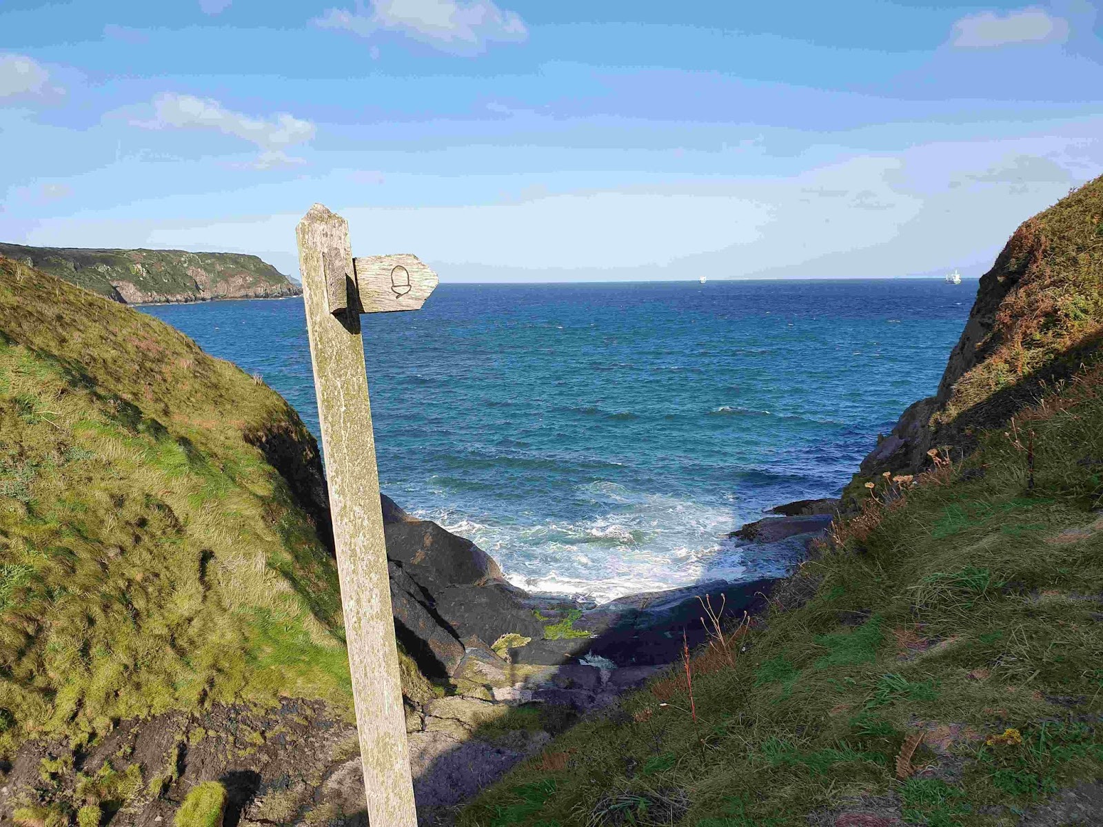
Being a national trail the path is fairly well signposted. We got caught out a couple of times by not following the official wooden signs. There are numerous other types of signs, including stickers on posts, plaques in walls and metal discs nailed to posts. Best advice is to' follow the acorn symbol'.
Guidebook Maps: These were a bit of a disappointment after using the Coast to Coast maps a couple of years ago. The Pen Coast Maps appear to be out of date, inaccurate in many places are somewhat inadequate. Luckily the path is reasonably easy to follow. I learnt fairly quickly that counting gates and stiles on the map didn't always give a good representation of where you are. The hill gradients seemed to be out of wack in places, this made the longer days less enjoyable (I like to know what is around the corner so I can mentally prepare myself for it).
A-Z Map: This booklet of maps covering the walk is great. I didn't use it often but it came in handy with the occasional GPS positron fix and also when using the asset locations which are on most of the gates.
GPS: I prefer not use it, however it did come in handy. I downloaded the Trailblazer GPX file and added the accommodation to it (I got the accommodation coordinates from Google Maps).
Mobile Phone Coverage
This is surprisingly good except, as can be expected, it is non-existent in the more remote areas. It is not always available at beach areas and can be an issue if you need to call a taxi at a 'bail out point'. Just to be on the safe side I carried a PLB (personal locator beacon) with me in the event of an injury in an isolated area.
Weather
No one can plan this. We had only a couple of days where it rained but in general it was beautiful walking weather (about 17°c to 19°c). We did get a lot of days with really strong winds which were luckily blowing from the sea so we weren't blown towards the cliffs. There were many scary moments walking close to the cliff edge in a howling wind. Advice in the event the wind is blowing off the land - don't walk that day.
Would I did it again?
I did enjoy it and I found it to be a rewarding challenge but now I've done it I won't jump at the chance to do it again.
---------------------------------------


No comments:
Post a Comment